Capture a territorial baseline
Aerial photography using crewed or uncrewed aircraft produces imagery and cartographic derivatives. Depending on the project, orthophotos, orthomosaics, and base or thematic maps can be obtained to study the area.

INTELLIGENT LOCATION · TERRITORY AND INFRASTRUCTURE
We turn territory information into useful analysis so you can anticipate risks, optimize operations, and plan with greater certainty. We design and implement tailored solutions using geospatial data, analytics, and applied artificial intelligence wherever it creates value.
Explore Geospatial Solutions ↓When geographic information is scattered, outdated, or disconnected from your systems, it becomes harder to prioritize investments and respond to change. At Servinformación we integrate data, geospatial knowledge, and analytical capabilities to turn that complexity into clear decisions and solutions ready to operate.
Consulting before technology
We do not start with a platform. First, we understand the decision you need to make, assess the information available, and design a solution aligned with your operation, your systems, and your quality criteria. Every project includes human review at critical points, traceability of data, models and results, validation against reference sources, and governance over the client's information and infrastructure.
We define the challenge, the users, the information sources, and the expected results.
We structure the data model, the architecture, and the quality rules that will support the solution.
We build, integrate, and validate the geospatial, analytical, and automation components.
We document, transfer knowledge, and support the adoption and evolution of the solution.
Aerial photography using crewed or uncrewed aircraft produces imagery and cartographic derivatives. Depending on the project, orthophotos, orthomosaics, and base or thematic maps can be obtained to study the area.
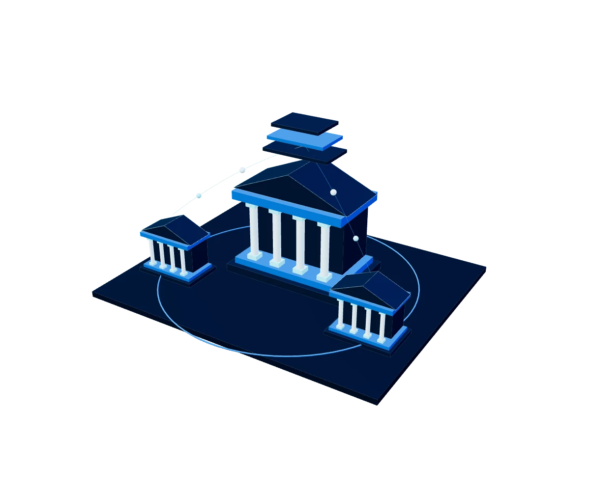
Multipurpose cadastral solutions support the integration, administration, and consultation of territorial data. Structured information facilitates its use in land management and cadastral updating and service processes.
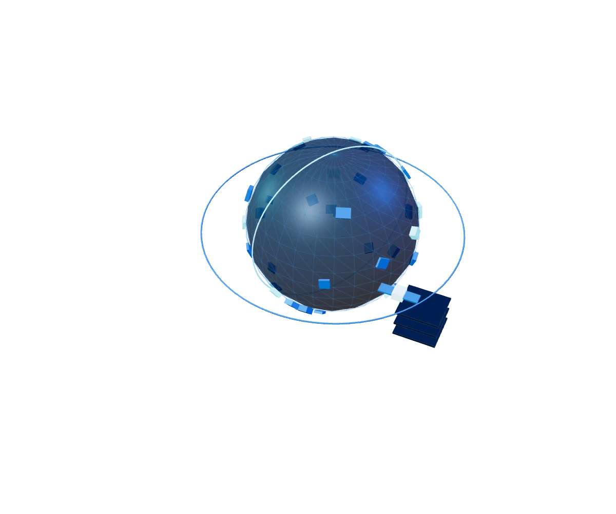
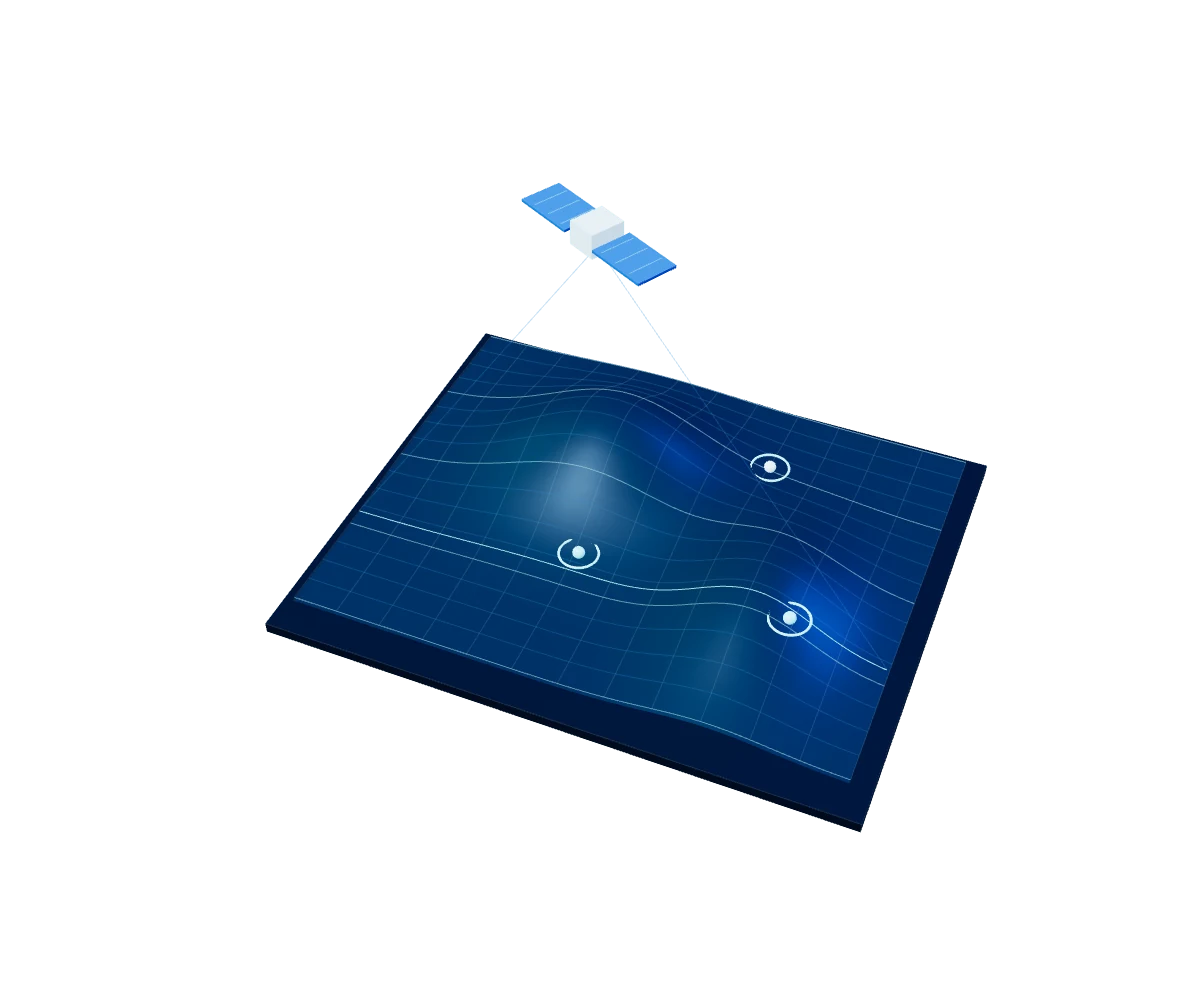
Satellite monitoring helps examine ground movement, infrastructure, and land use. City solutions connect information among participants to support inspections, asset management, and incident coordination.
We start from your business challenge to define the architecture, data, and capabilities you really need. Each solution can be implemented on its own or integrated into a broader geospatial ecosystem.
We organize, clean, and centralize your geographic information so it is reliable, accessible, and useful in operations.
We identify patterns, risks, and potential in the territory to support planning, investment, and expansion decisions.
We periodically track crops, natural resources, assets, and infrastructure to detect changes and act in time.
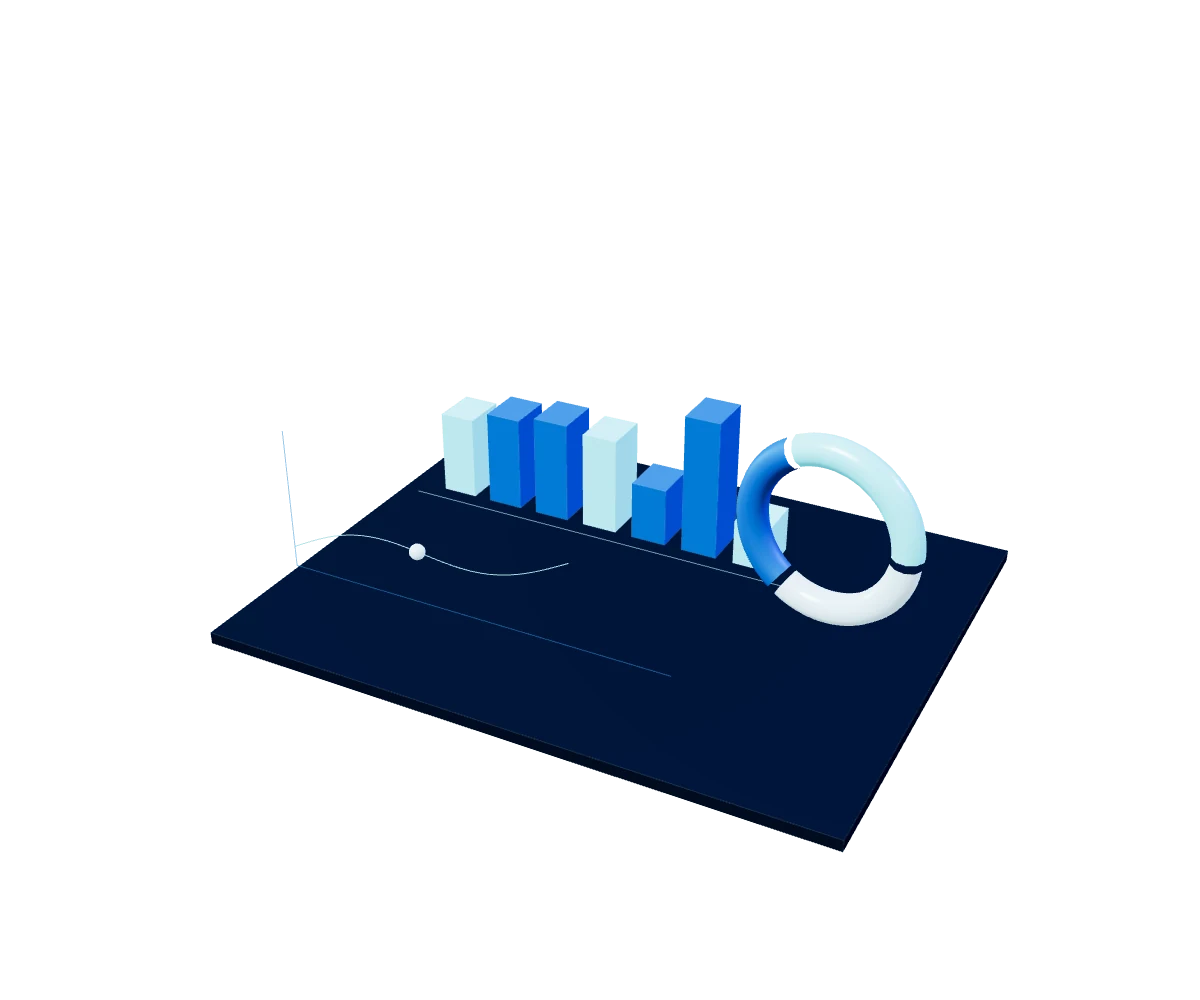
We turn complex data into visualizations that make it easier to track indicators and make decisions.
We connect spatial information with your platforms and reduce manual processing, validation, and update tasks.
We apply classification, detection, and prediction models to speed up analysis, with traceability and specialized review.
Strengthen territorial planning, cadastre, environmental monitoring, and risk management with up-to-date, verifiable information.
Assess markets, expansion areas, assets, and territorial demand to identify opportunities and reduce the uncertainty of your decisions.
Optimize routes, coverage, fleets, and distribution centers based on accessibility, traffic, and operations analysis.
Improve the management of networks, assets, and maintenance through georeferenced inventories, coverage analysis, and change detection.
We combine knowledge of the territory, data architecture, and implementation capacity to solve challenges that a single tool cannot fix. Our team accompanies the project from defining the problem to operating and evolving the solution. We are a Google Cloud Premier Partner and integrate capabilities from Google Earth Engine, Google Maps Platform, Planet, HERE Technologies, and Esri depending on the needs of each project. Technology selection responds to the use case, the infrastructure, and each organization's objectives.
Frequently asked questions
It is a solution designed to analyze information linked to the territory and address a specific planning, operations, monitoring, or risk-management challenge. It can integrate data, maps, satellite imagery, analytical models, and automation.
We start with a diagnosis of the problem, the decisions you need to support, and the information available. From there we define the scope, the architecture, and an implementation roadmap.
Yes. We design integrations with existing data sources and platforms to avoid information silos and make adoption easier within your current processes.
We apply it when it adds value to tasks such as image classification, change detection, prediction, validation, and product generation. Results maintain traceability and specialized review.
YOUR NEXT BIG PROJECT STARTS HERE
Do you have a data, cloud, AI or cybersecurity challenge?
Tell us and we'll suggest where to start.