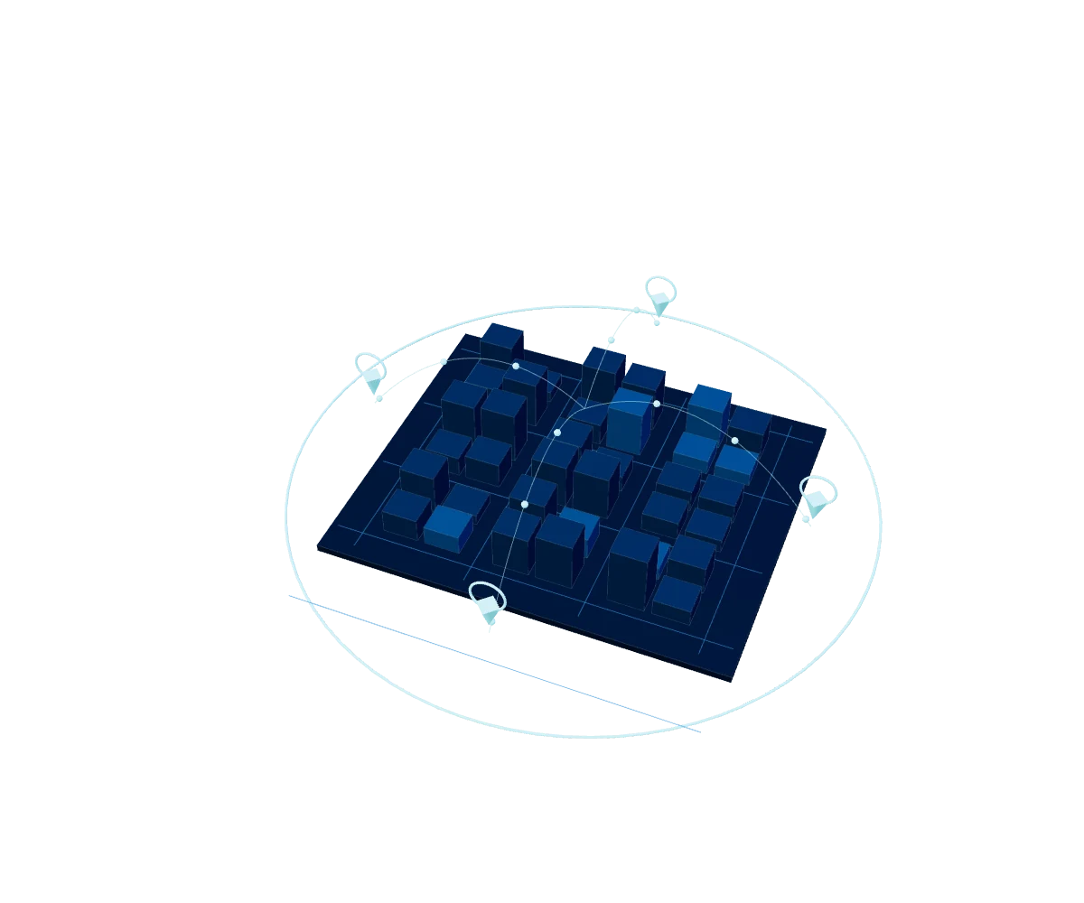
Locate the information
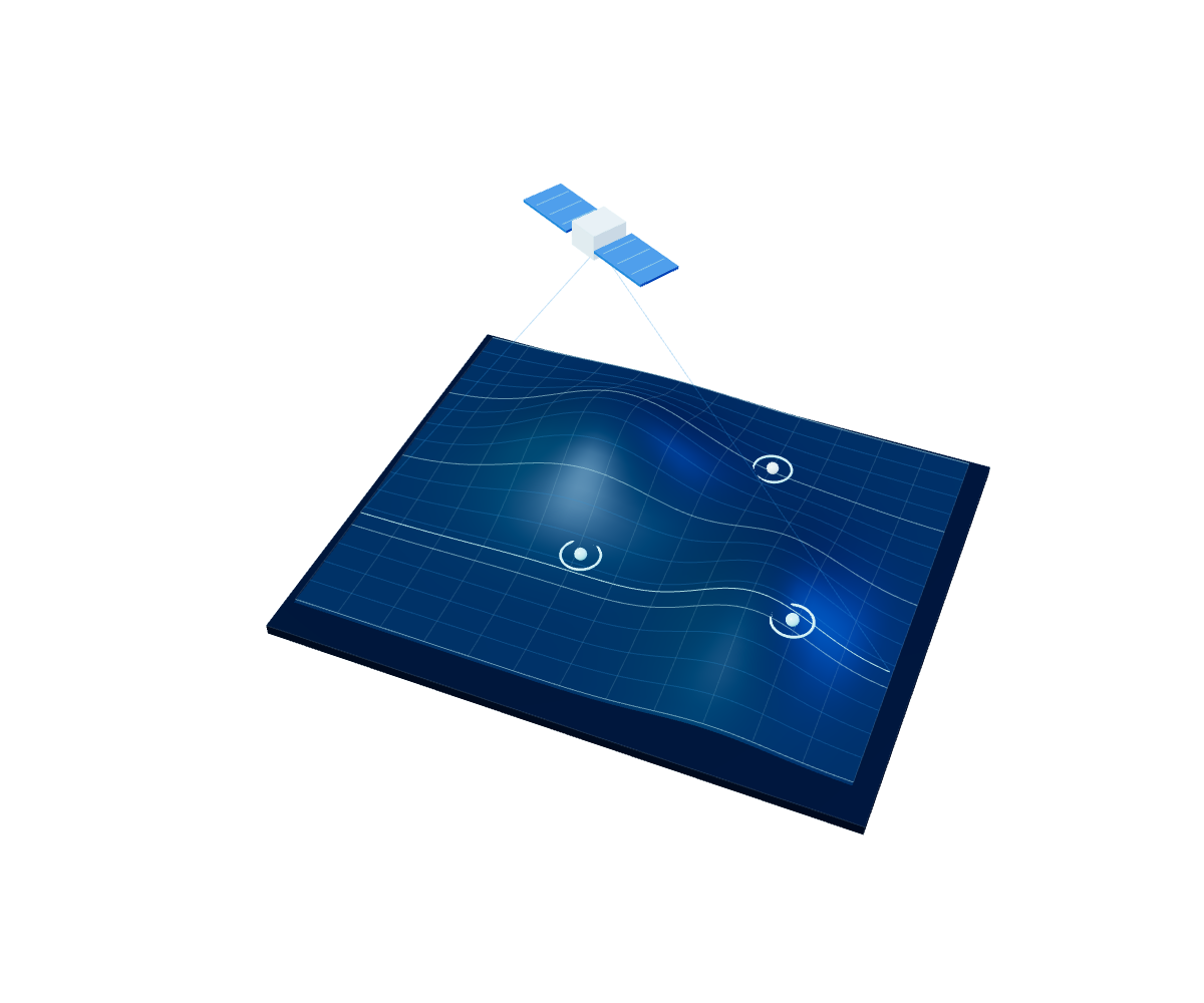
Standardize addresses and assign them a geographic reference with Sitidata and Dataquality. Build a consistent information base before incorporating it into your commercial or logistics processes.

INTELLIGENT LOCATION
Optimize routes, validate addresses, analyze markets and manage operations with Servinformación.
Explore Intelligent Location ↓We integrate geographic data, analytics and business knowledge to help you optimize routes, validate addresses, plan expansions and coordinate field operations with greater precision. Servinformación designs and implements the right solution for your operation, connecting your own and external information with geospatial tools, analytical models and specialized services.
Standardize addresses and assign them a geographic reference with Sitidata and Dataquality. Build a consistent information base before incorporating it into your commercial or logistics processes.
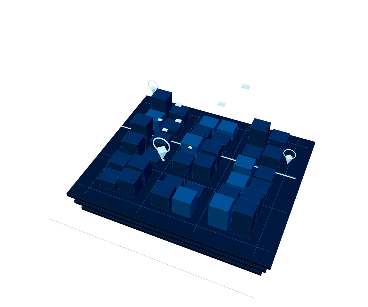
Geomarketing and Infocomercio help explore catchment areas, customers, competitors, and establishments. Observe how an area's potential changes when you combine different analytical variables.
Plan routes with Datarutas and connect experiences through Google Maps. Specialized geospatial solutions address specific needs for integration, visualization, and territorial analysis.
Location with purpose
A single coordinate says little. When location is related to customers, assets, demand, competition and operating capacity, it becomes useful information for deciding where to act, how to allocate resources and which opportunities to prioritize.
Plan routes, service areas and field activities with up-to-date information and business criteria.
Standardize, validate, geolocate and enrich addresses to reduce errors in commercial and logistics processes.
Analyze customers, competitors, points of sale, mobility and environmental variables before expanding or investing.
Visualize resources, coverage, progress and indicators on maps that make coordination and decision-making easier.
Our portfolio
We combine proprietary products, data, geospatial platforms and consulting services. The solution can be implemented on its own or integrated with your current systems and processes.

Standardizes, validates, geolocates and enriches addresses and coordinates. Helps reduce incomplete records, failed deliveries and decisions based on inaccurate data.

Plans, monitors and optimizes field resources. Centralizes management in a web control tower and enables execution through mobile devices.

Relates customers, points of sale, competition and areas of influence to guide campaigns, commercial expansion and market coverage.

Improves the reliability of customer, supplier or asset databases through normalization, validation, geolocation and enrichment processes.

Provides georeferenced, classified data on commercial establishments to identify opportunities, estimate coverage and understand the channel.
We design viewers, territorial models, geospatial analytics and integrations with platforms such as Google Maps Platform, CARTO and Google Earth Engine when the case requires it.
Where it applies
Route optimization, resource allocation, delivery tracking, zone mapping and coverage analysis.
Site selection, commercial potential assessment, competitive analysis and territory prioritization.
Geographic segmentation, audience definition, mobility analysis and territorial measurement of campaigns.
Address cleansing, geocoding, demographic enrichment and consolidation of internal and external sources.
Visit planning, mobile data capture, activity traceability and supervision through dashboards and maps.
Cadastre, mobility, infrastructure, risk management, observatories and environmental or urban analysis.
How we work
We understand the decision you need to improve, the users involved and the success indicators.
We assess the quality, coverage and availability of geographic and operational data.
We design the architecture, analytical model and the most suitable user experience.
We integrate sources, platforms, applications and processes with security controls and data governance.
We support adoption, measure results and adjust the solution as the operation changes.
Frequently asked questions
It is the use of geographic data, analytics and technology to understand how location influences customers, assets and operations. It helps answer questions like where to open a location, how to reduce travel distances, or which areas offer the greatest potential.
Yes. We design integrations with CRM, ERP, mobile applications, data sources and analytics platforms according to each organization's architecture and security controls.
No. The project can start with a quality assessment. Servinformación can normalize, validate, geolocate and enrich the information before building the analyses or applications.
No. They are also used in commercial expansion, marketing, asset management, urban planning, cadastre, risk management, public services and environmental analysis.
YOUR NEXT BIG PROJECT STARTS HERE
Do you have a data, cloud, AI or cybersecurity challenge?
Tell us and we'll suggest where to start.