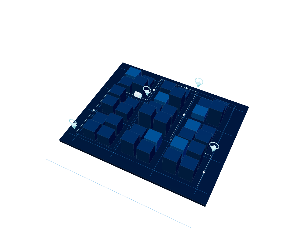
360° view
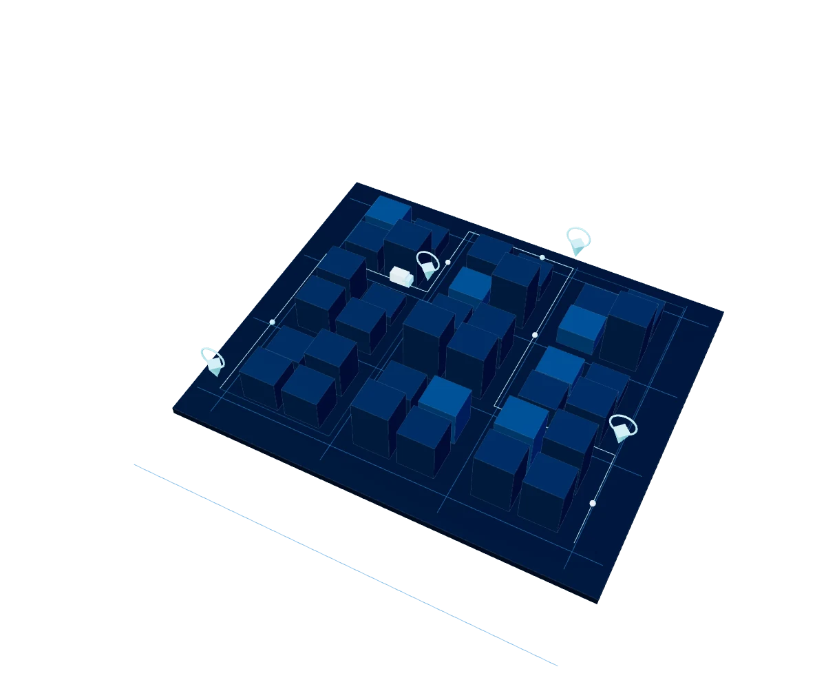
360° visualization of the logistics operation.

LOGISTICS INTELLIGENCE PLATFORM · LATAM
An integrated ecosystem that reduces costs, improves decision-making and delivers measurable results at every stage of the logistics operation: route optimization, real-time visibility and regulatory compliance.
Explore Logistics ↓Specialized solutions that work together to optimize every stage of the logistics operation.
Products in this Unit

360° visualization of the logistics operation.
Monitoring of orders and the CEDI network.
Mass control of processes from a single screen.

Smart multi-stop route optimization.
Reduced kilometers and driving times.
Lower consumption thanks to optimized routes.

Real-time supervision and auditing of field operations.
Route execution and tamper-proof evidence capture from the phone.
Optimization, routing, isochrones and clustering.

No-code form design and real-time analytics.
Smart field data capture powered by AI.
Offline-First mode with SDK/App connectivity.

Official integration as a Google Maps Premier Partner.
Maps, routes and geolocation for the whole operation.
Native integration with the rest of the logistics ecosystem.
Routes, forms, and geospatial data working separately raise costs and reduce visibility of the logistics operation.
Smart1, ServiRoutes, DataRutas, ServiForms, and Google Maps Platform integrate with each other and with existing systems, without replacing what already works.
Lower operating costs, guaranteed regulatory compliance, and faster response times, backed by more than 20 years of regional experience.
BENEFITS
WHY SERVINFORMACIÓN
We help organizations turn location into a strategic advantage. We combine regional experience, business knowledge, and advanced capabilities to optimize operations, improve decision-making, and generate measurable results. Google Cloud Partner · Logistics Specialization.
A proven track record in geospatial intelligence projects for large enterprises.
Operations and support close to hand in the region's key countries.
Solutions that complement each other, not standalone products.
Works alongside ERP, TMS, and existing systems; implementation in days.
A specialized team that supports adoption and continuous improvement.
YOUR NEXT BIG PROJECT STARTS HERE
Do you have a data, cloud, AI or cybersecurity challenge?
Tell us and we'll suggest where to start.