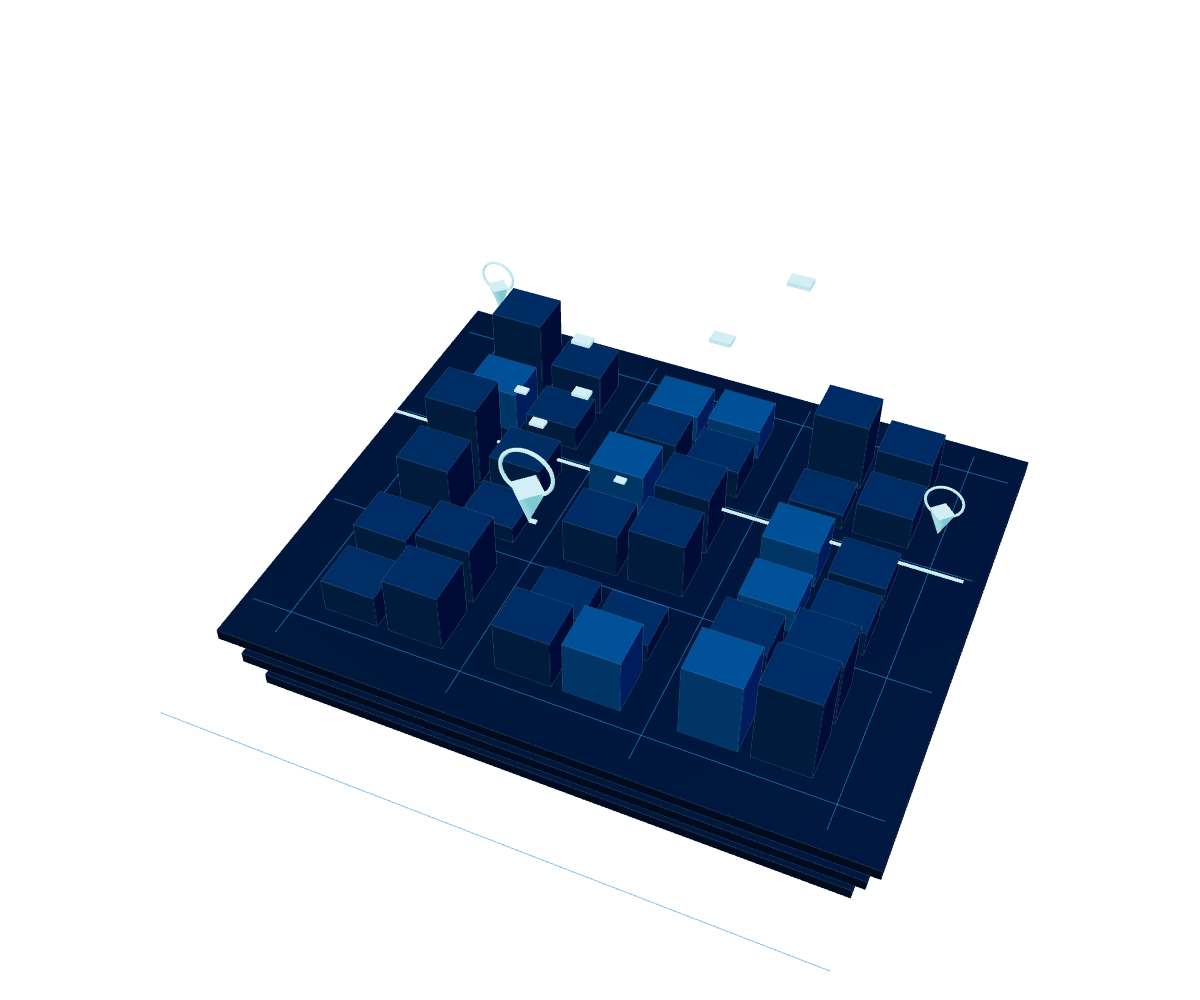
Cartography that's always up to date
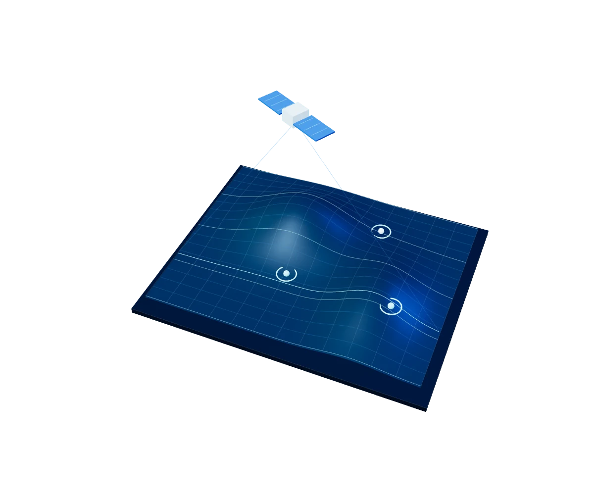
Renews the exact cartography of the zones you need, on demand: updates specific cities and geographic layers so your operation always works with the most current territorial information.

SMART LOCATION · GIS OPERATIONS
Update, draw and analyze the territory with precision. Cartografía brings together four solutions —Actualización Carto, Mapa Digital, Mapa Predial and Geoproyecciones— to keep geographic information current, produce custom urban and cadastral maps, and combine that base with demographic and financial variables to estimate demand.
Explore Cartography ↓Outdated or generic cartography limits any territorial decision. These solutions keep the cartographic base current, produce custom urban and cadastral maps for each city, and turn that information into financial capacity and demand estimates by zone.
Products in this Unit
Renews the exact cartography of the zones you need, on demand: updates specific cities and geographic layers so your operation always works with the most current territorial information.
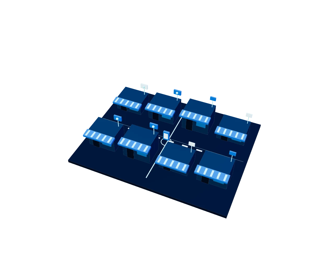
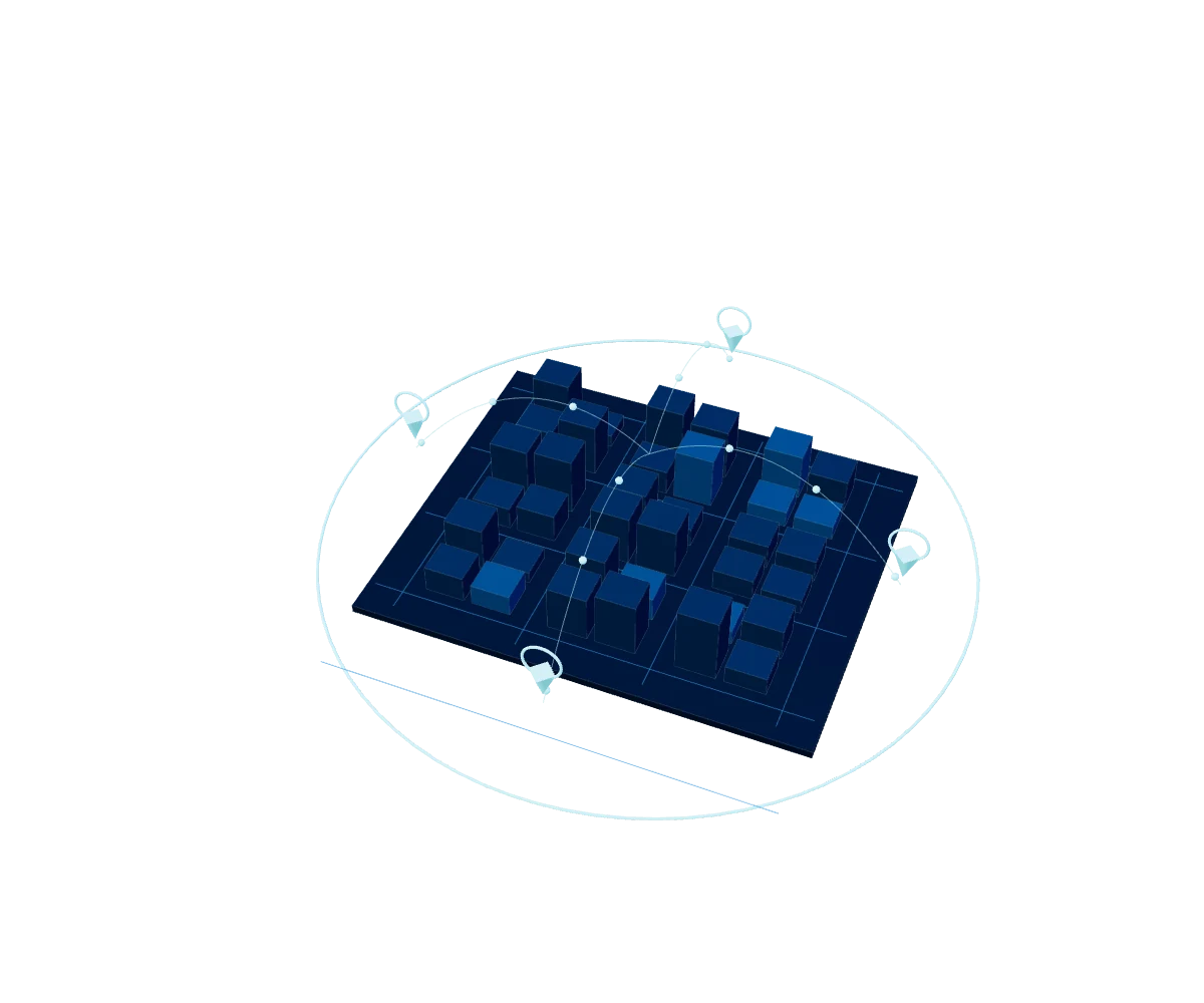
A detailed digital map of the city of interest —blocks, roads, neighborhoods and other elements— in visual formats ready to support territorial and commercial planning.
The same custom urban cartography, with cadastral precision: a detailed map of blocks, roads, neighborhoods and parcels in visual formats ready to speed up territorial and commercial planning.
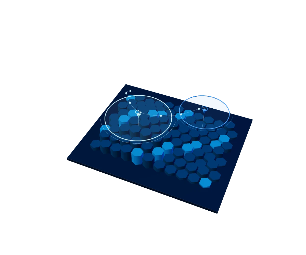
Cross-references official cartography with birth, death and income data to estimate a zone's real financial capacity and predict business demand.
Actualización Carto renews, on demand, the cities and geographic layers you need, so your operation always works with the most current territorial information.
Mapa Digital and Mapa Predial deliver detailed urban cartography —blocks, roads, neighborhoods and parcels— in visual formats ready for territorial and commercial planning, with or without parcel-level precision depending on the need.
Geoproyecciones cross-references official cartography with birth, death and income data to estimate a zone's real financial capacity and predict business demand.
YOUR NEXT BIG PROJECT STARTS HERE
Do you have a data, cloud, AI or cybersecurity challenge?
Tell us and we'll suggest where to start.